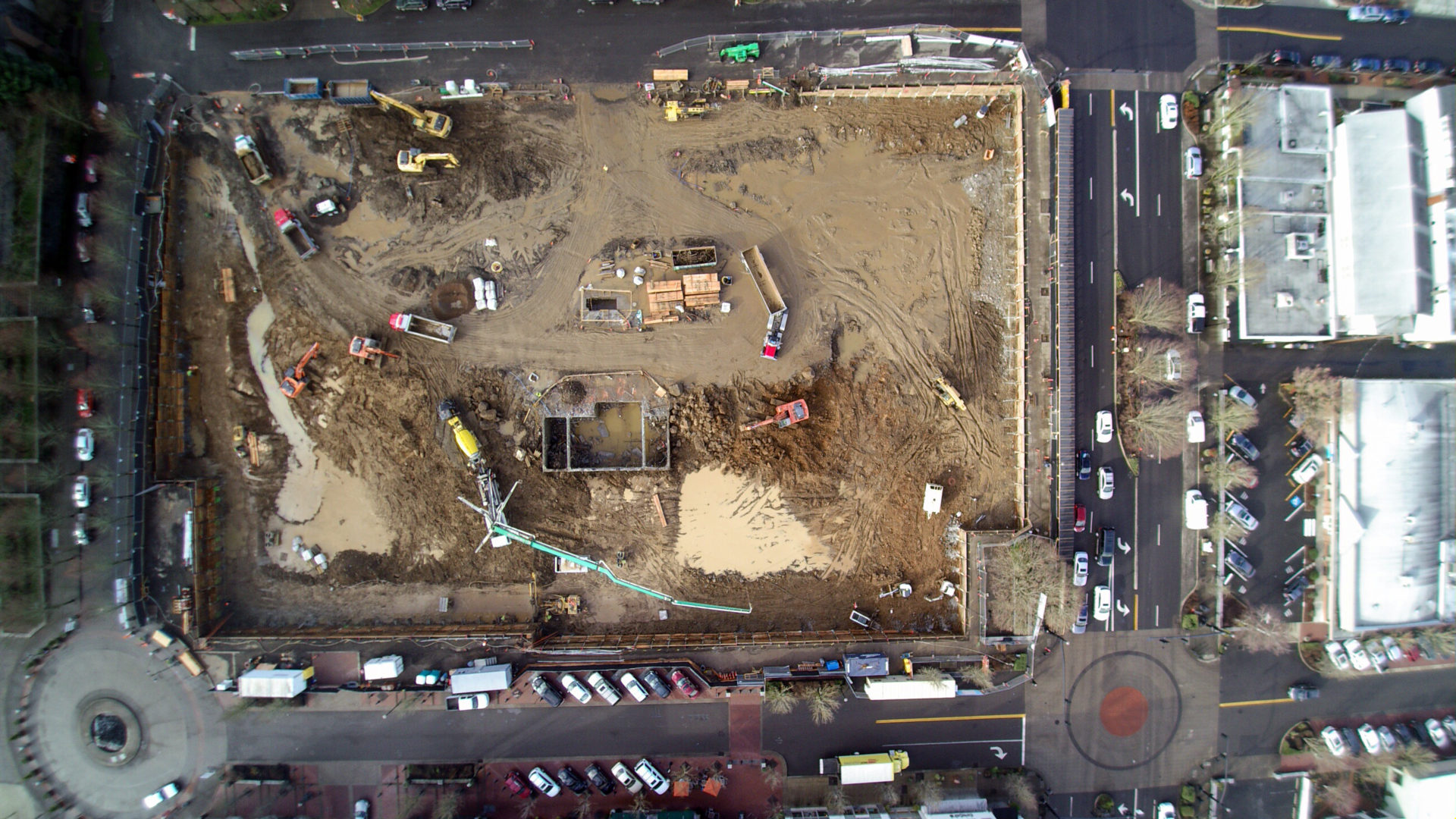
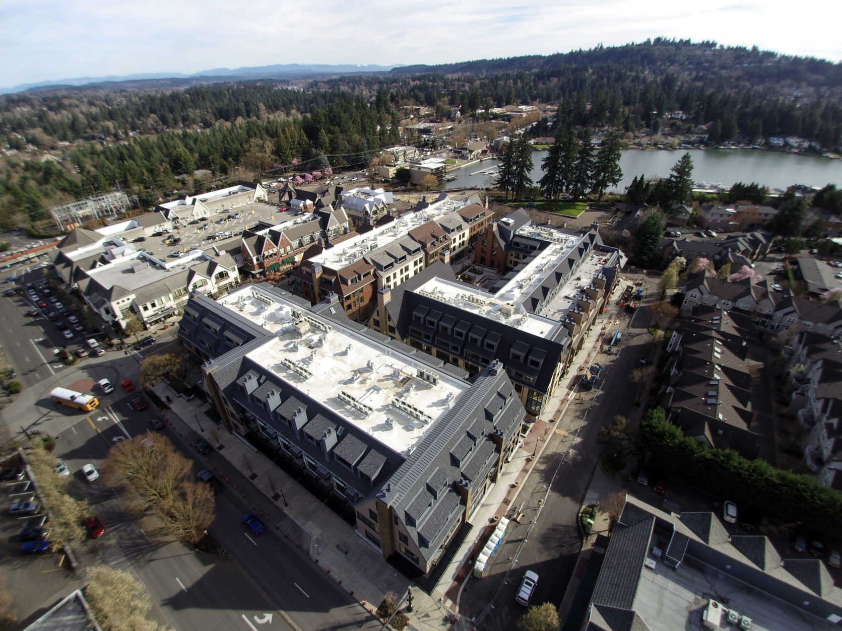
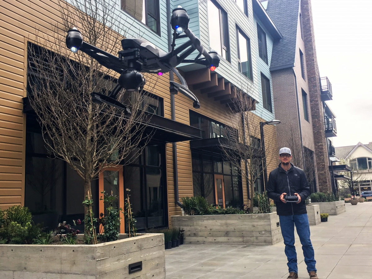
I’ve been working as a project engineer on the construction of the Windward Apartments for the past two years. Early in preconstruction, we realized that we’d want to take aerial photos of the project at many points in its progression because it’s a high-profile project that has drawn a lot of interest from the community. It also includes a complex exterior skin that would require a lot of coordination with everyone involved. Instead of hiring a third-party company to take aerial photographs for us, I decided to become a certified pilot for unmanned aircraft vehicles (UAVs, or drones). After continually operating the drone on site for two years we’ve identified many benefits, as well as a few best practices for safely using this technology.
The most obvious benefit of piloting the drone has been having images that serve as an effective communication tool. The drone photography visually clearly communicate progress whether they’re shared on a weekly basis with the local community or at OAC and subcontractor communication meetings. The photos are useful for coordination meetings because they provide real-time visuals of the building and site layout. Our superintendent, Ryan Browne, uses the drone photos of the exterior of the building in weekly subcontractor meetings to draw attention to the precise points on the building that need extra attention.
“This project has a complicated exterior façade,” Ryan says, “and the weekly drone photos are an effective way to track construction progress and hold subcontractors accountable for the schedule.” Clients also benefit from our flexibility to take quality photos at the most opportune times, capturing all major milestones and job progress.

The greatest advantage of taking drone photos is gaining the information that they provide for schedule and coordination planning. The weekly progress photos provide a high level of detail that a written CPM schedule simply cannot achieve.
A quantifiable advantage of our drone use on the Windward has been the cost savings. Investing in the drone has allowed us to take photos on our own schedule and eliminated the need for a third party photographer. Over the entire length of the project, the client could have spent $10,000 on drone photos with a professional photographer, instead we purchased the drone for only $1,700.
As we incorporate this technology, it is also necessary to comply with FAA regulations, licensing and drone safety programs. With help from our safety team, I have ensured proper pilot licensing, added liability insurance, logged maintenance and established a “pre-flight task plan.” The drone manufacturer provides a basic pre-flight safety checklist, but we added extra steps to suit our needs. This includes our reason for the flight, safety concerns and a map of the jobsite—showing planned takeoff and landing. With these steps we are adopting UAV technology safely and responsibly, abiding by FAA regulations and surpassing industry standards.
In the future, I see us using the UAV to capture orthomosaic imagery to create point cloud data for jobsite analysis. Orthomosaic photos are geometrically corrected photographs with a uniform scale, similar to a map. Creating point clouds using UAVs will allow us to create cut/fill calculations for site work, scanning post tension decks helping to avoid drilling into tendons and increasing safety. This will allow us to reduce our need for GPR (ground penetrating radar) and pre/post pour scanning cost, all in a matter of minutes with minimal impact to the construction schedule.
Drones are an innovative technology that will continue to develop in the coming years. They are still new in the construction industry, but more and more companies are using drones or hiring professional drone pilots for photography. I think drones can provide significant benefits for larger projects. All it takes is training one person on each jobsite to manage the drone safely and responsibly, and they can add substantial value to a project.


